Prideaux Castle, Par
Map

Map

Facts and practical information
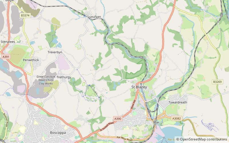
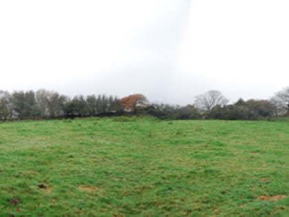
Prideaux Castle is a multivallate Iron Age hillfort situated atop a 133 m high conical hill near the southern boundary of the parish of Luxulyan, Cornwall, England, United Kingdom. It is also sometimes referred to as Prideaux Warren, Prideaux War-Ring, or Prideaux Hillfort. The site is a scheduled monument and so protected from unauthorised works by the Ancient Monuments and Archaeological Areas Act 1979. ()
Coordinates: 50°22'8"N, 4°43'50"W
Day trips
Prideaux Castle – popular in the area (distance from the attraction)
Nearby attractions include: Eden Project, Treffry Viaduct, Par signal box, St Blazey.
Frequently Asked Questions (FAQ)
Which popular attractions are close to Prideaux Castle?
Nearby attractions include Eden Project, Par (21 min walk), Treffry Viaduct, Par (23 min walk).
How to get to Prideaux Castle by public transport?
The nearest stations to Prideaux Castle:
Train
Train
- Par (38 min walk)


