Richmond Falls, Richmond

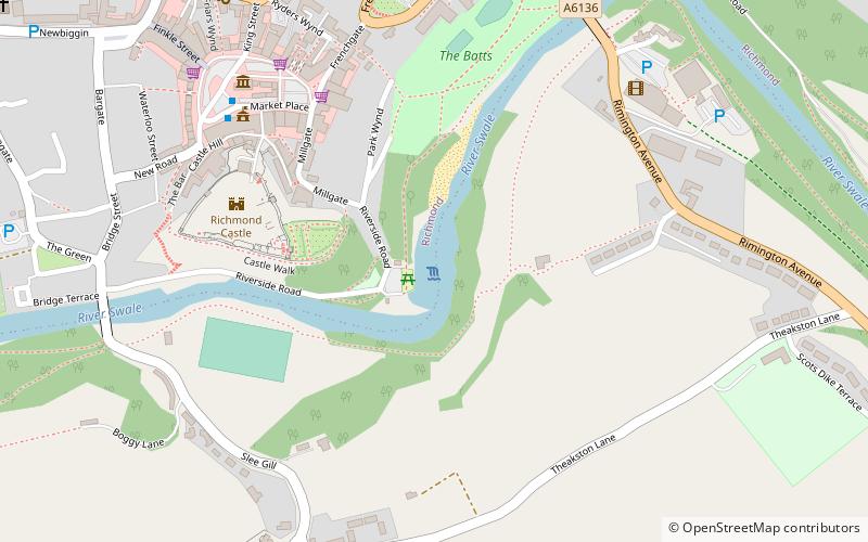
Map
Facts and practical information
Richmond Falls are a series of waterfalls along the River Swale, they are situated at grid reference NZ173006 near to the town centre of Richmond, North Yorkshire. They are one of, if not the last waterfalls on the Swale before the river reaches the lower country grounds of the Vale of Mowbray, their normally medial size can be affected easily, much like the rest of the Swale, by heavy rain and flooding, making for dramatic viewing. Because of the steep nature of the rocks, the falls are a barrier to fish passage upstream. ()
Coordinates: 54°24'4"N, 1°44'2"W
Address
Richmond
ContactAdd
Social media
Add
Day trips
Richmond Falls – popular in the area (distance from the attraction)
Nearby attractions include: Richmond Castle, Easby Abbey, St Mary the Virgin, Luke Searle Golf.
Frequently Asked Questions (FAQ)
Which popular attractions are close to Richmond Falls?
Nearby attractions include Richmond Castle, Richmond (4 min walk), Green Howards Museum, Richmond (6 min walk), Richmondshire Museum, Richmond (6 min walk), St Mary the Virgin, Richmond (7 min walk).
How to get to Richmond Falls by public transport?
The nearest stations to Richmond Falls:
Bus
Bus
- Richmond Market Place • Lines: 831 (6 min walk)


