Road Castle, Exmoor National Park
Map
Facts and practical information
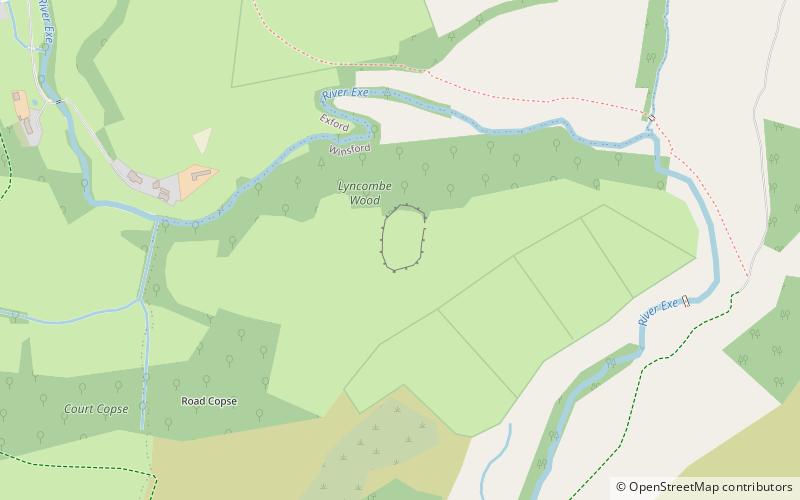
Road Castle is an Iron Age bank and ditch in the West Somerset district of Somerset, England. The hill fort is situated approximately 2 miles west from the village of Winsford. The ditch is almost square in plan with rounded corners and covers an area of approximately 0.7 acres. ()
Coordinates: 51°7'34"N, 3°37'35"W
Address
Exmoor National Park
ContactAdd
Social media
Add
Day trips


