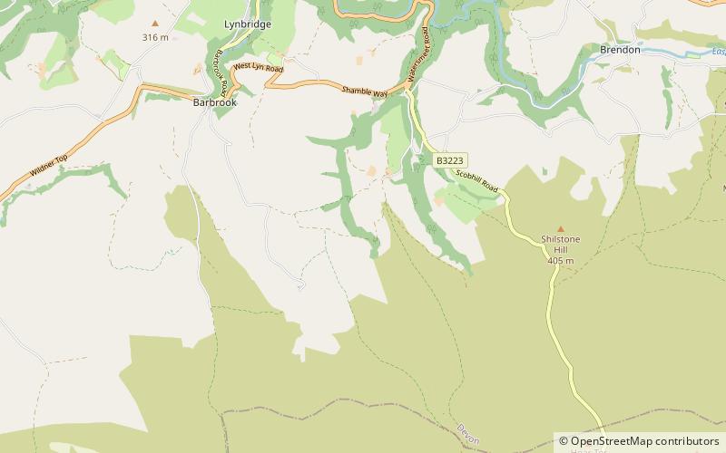
Roborough Castle, Lynton
Map

Map

Facts and practical information
Roborough Castle is an Iron Age enclosure or hill fort situated close to Lynton in Devon, England. The fort is situated on the North East edge of a Hillside forming a promontory above a tributary to the East Lyn River known as Hoaroak Water at approx 320 Metres above Sea Level. ()
Coordinates: 51°11'56"N, 3°48'47"W
Address
Lynton
ContactAdd
Social media
Add
Day trips
Roborough Castle – popular in the area (distance from the attraction)
Nearby attractions include: Valley of Rocks, Foreland Point, Lynton and Lynmouth Cliff Railway, Lynton Town Hall.


