Runcorn to Latchford Canal, Warrington
Map

Gallery

Facts and practical information
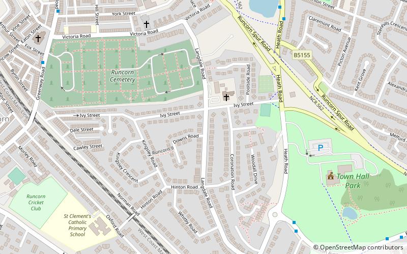
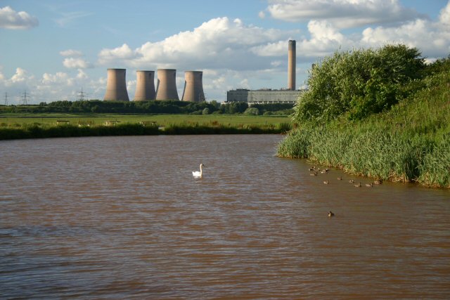
The Runcorn to Latchford Canal ran from Runcorn, Cheshire to the Latchford area of Warrington, then in the historic county of Lancashire, England. It connected the Mersey and Irwell Navigation to the River Mersey at Runcorn. ()
Coordinates: 53°20'6"N, 2°43'44"W
Address
Warrington
ContactAdd
Social media
Add
Day trips
Runcorn to Latchford Canal – popular in the area (distance from the attraction)
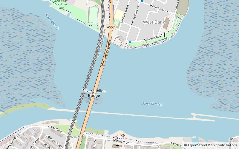
Nearby attractions include: Catalyst Science Discovery Centre, All Saints' Church, Widnes-Runcorn Transporter Bridge, Silver Jubilee Bridge.
Frequently Asked Questions (FAQ)
Which popular attractions are close to Runcorn to Latchford Canal?
Nearby attractions include Runcorn Town Hall, Runcorn (7 min walk), Runcorn War Memorial, Runcorn (11 min walk), The Brindley, Runcorn (11 min walk), Holy Trinity Church, Runcorn (13 min walk).
How to get to Runcorn to Latchford Canal by public transport?
The nearest stations to Runcorn to Latchford Canal:
Bus
Train
Bus
- Runcorn Bus Station (13 min walk)
Train
- Runcorn (13 min walk)


