Shiprow, Aberdeen
Map

Gallery

Facts and practical information
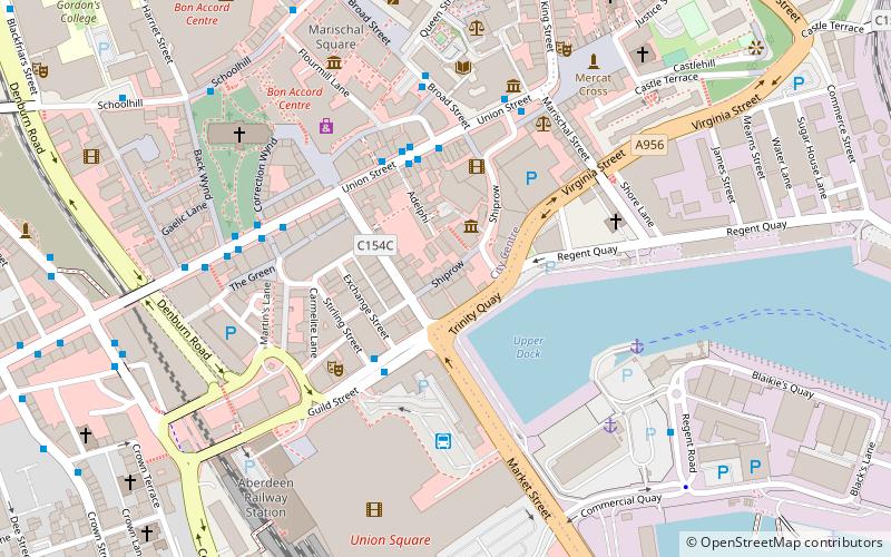
Shiprow is a historic street in the heart of Aberdeen, Scotland, near the harbour. Formerly the Shiprow sloped upward more gradually than it does now, and it crossed Union Street in a depression between St Catherine's Hill on the west and Castle Street, once high uneven ground, on the east. That the Shiprow has been made up several feet can be seen by a house at the end of Exchequer Row, and it crossed Union Street and entered Broad Street at a lower level than the present. ()
Coordinates: 57°8'46"N, 2°5'44"W
Address
George Street - Harbour (Castlehill)Aberdeen
ContactAdd
Social media
Add
Day trips
Shiprow – popular in the area (distance from the attraction)
Nearby attractions include: Union Street, Bon Accord & St Nicholas, Union Square Aberdeen, Trinity Centre.
Frequently Asked Questions (FAQ)
Which popular attractions are close to Shiprow?
Nearby attractions include Aberdeen Maritime Museum, Aberdeen (2 min walk), Tivoli Theatre, Aberdeen (3 min walk), Grosvenor Casino Aberdeen, Aberdeen (3 min walk), Tolbooth Museum, Aberdeen (4 min walk).
How to get to Shiprow by public transport?
The nearest stations to Shiprow:
Bus
Train
Bus
- Adelphi • Lines: 727 (3 min walk)
- Aberdeen Bus Station (3 min walk)
Train
- Aberdeen (7 min walk)


