Smitham Chimney, Cheddar
Map

Map

Facts and practical information
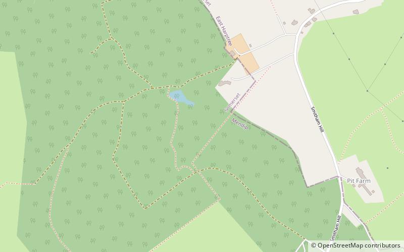
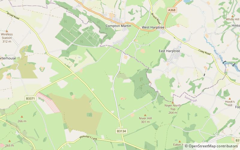
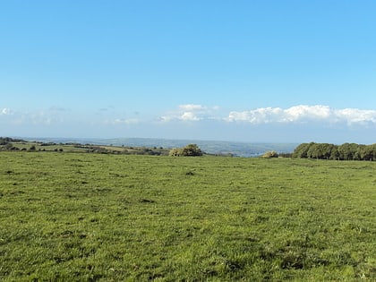
Smitham Chimney is a chimney which was used for lead mining just outside the village of East Harptree, in the parish of Priddy, Somerset, England. It is a Grade II listed building. ()
Coordinates: 51°17'16"N, 2°38'22"W
Address
Cheddar
ContactAdd
Social media
Add
Day trips
Smitham Chimney – popular in the area (distance from the attraction)
Nearby attractions include: Lamb Leer, Priddy Circles, Wurt Pit and Devil's Punchbowl, Harptree Combe.
Frequently Asked Questions (FAQ)
Which popular attractions are close to Smitham Chimney?
Nearby attractions include Lamb Leer, Cheddar (19 min walk), Harptree Combe, Cheddar (23 min walk), Wurt Pit and Devil's Punchbowl, Cheddar (23 min walk).


