St Andrew's Garrison Church, Aldershot
Map

Map

Facts and practical information
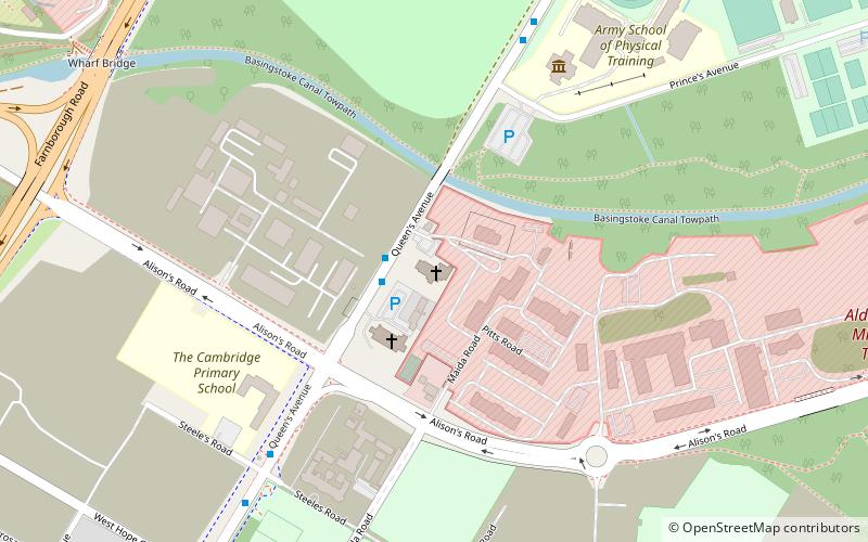
St Andrew's Garrison Church, situated at Queens Avenue, Aldershot, Hampshire in southern England is a large army church designed in the late 1920s by the prominent Scottish architect Sir Robert Lorimer. ()
Coordinates: 51°15'39"N, 0°45'32"W
Address
Queen's AveAldershot (Wellington)Aldershot GU11 2BY
Contact
+44 1252 328581
Social media
Add
Day trips
St Andrew's Garrison Church – popular in the area (distance from the attraction)
Nearby attractions include: Aldershot Military Museum, Aldershot Military Cemetery, Manor Park, Royal Garrison Church.
Frequently Asked Questions (FAQ)
Which popular attractions are close to St Andrew's Garrison Church?
Nearby attractions include Cathedral of St Michael and St George, Aldershot (2 min walk), Parachute Regiment and Airborne Forces Museum, Aldershot (5 min walk), Aldershot Observatory, Aldershot (6 min walk), RAMC Memorial, Aldershot (13 min walk).
How to get to St Andrew's Garrison Church by public transport?
The nearest stations to St Andrew's Garrison Church:
Bus
Train
Bus
- Aldershot Football Ground • Lines: 520, Kite (23 min walk)
- Victoria Road Court House • Lines: 520, Kite (22 min walk)
Train
- Aldershot (26 min walk)


