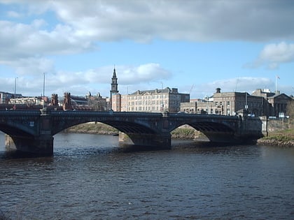
St Andrew's-by-the-Green, Glasgow
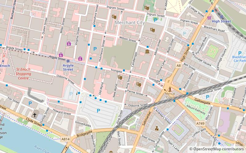
Map
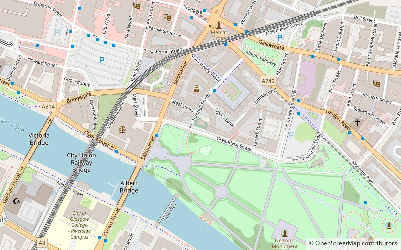
Map

Facts and practical information
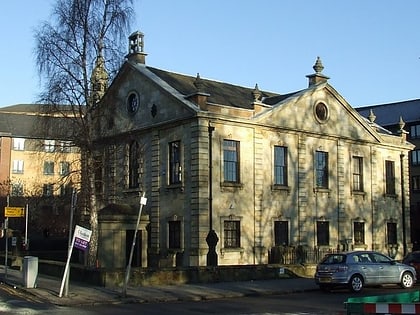
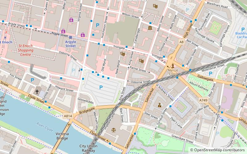
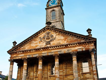
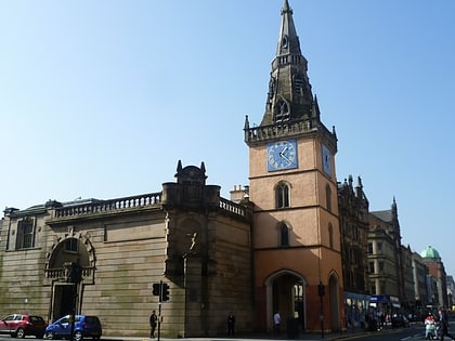
St Andrew's-by-the-Green is an 18th-century category-A-listed former church in Glasgow, Scotland, and the first Episcopal church built in the city. It is situated on the corner of Turnbull Street and Greendyke Street, overlooking Glasgow Green, on the edge of the city's East End. ()
Day trips
St Andrew's-by-the-Green – popular in the area (distance from the attraction)
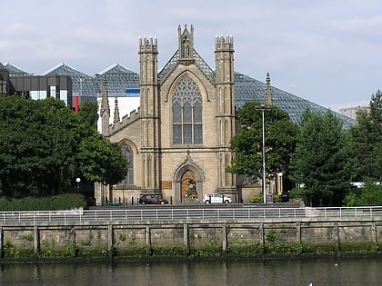
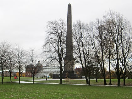
Nearby attractions include: People's Palace, The 13th Note, St Andrew's Cathedral, Nelson Monument.
Frequently Asked Questions (FAQ)
Which popular attractions are close to St Andrew's-by-the-Green?
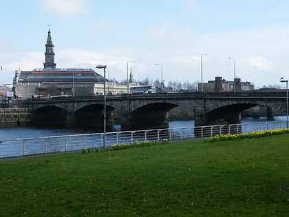
Nearby attractions include Saltmarket, Glasgow (2 min walk), St Andrew's in the Square, Glasgow (2 min walk), St Andrew's Square, Glasgow (2 min walk), Albert Bridge, Glasgow (5 min walk).
How to get to St Andrew's-by-the-Green by public transport?
The nearest stations to St Andrew's-by-the-Green:
Bus
Train
Metro
Bus
- London Road / Turnbull Street • Lines: 2 (4 min walk)
- London Road / Charlotte Street • Lines: c1 (5 min walk)
Train
- Argyle Street (9 min walk)
- High Street (11 min walk)
Metro
- St Enoch • Lines: Subway (13 min walk)
- Bridge Street • Lines: Subway (15 min walk)
