St Andrews Sarcophagus, St Andrews
Map

Map

Facts and practical information
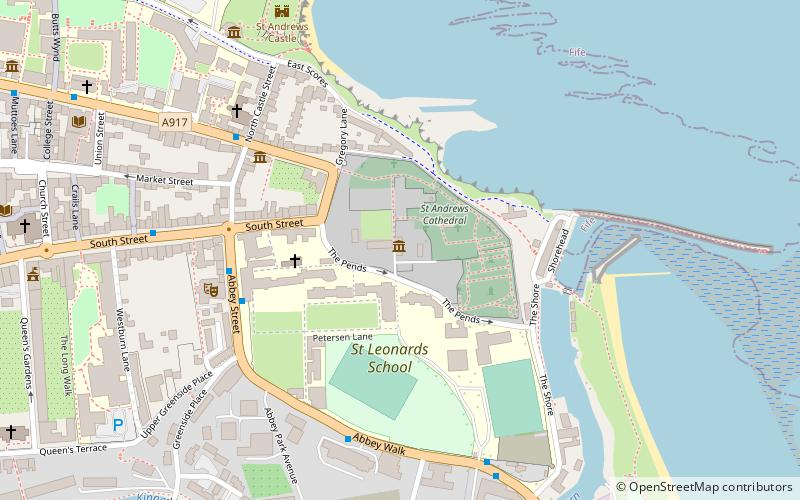
The Saint Andrews Sarcophagus is a Pictish monument dating from the second half of the 8th century. The sarcophagus was recovered beginning in 1833 during excavations by St Andrew's Cathedral, and in 1922 that the surviving components were reunited. The sarcophagus is on display at the Cathedral museum in St Andrews, close to the site of its discovery. ()
Coordinates: 56°20'22"N, 2°47'15"W
Address
St Andrews
ContactAdd
Social media
Add
Day trips
St Andrews Sarcophagus – popular in the area (distance from the attraction)
Nearby attractions include: Old Course at St Andrews, St Andrews Links, St Andrews Cathedral, St Andrews Castle.
Frequently Asked Questions (FAQ)
Which popular attractions are close to St Andrews Sarcophagus?
Nearby attractions include St Andrews Cathedral Priory, St Andrews (1 min walk), St Andrews Cathedral, St Andrews (2 min walk), Church of St Mary on the Rock, St Andrews (3 min walk), All Saints' Church, St Andrews (5 min walk).
How to get to St Andrews Sarcophagus by public transport?
The nearest stations to St Andrews Sarcophagus:
Bus
Bus
- St Andrews Bus Station (16 min walk)


