St Edmund's Chapel, Dover
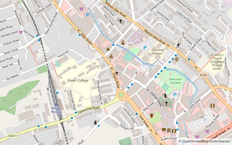
Map

Map

Facts and practical information
St Edmund's Chapel is a church in Dover, England, dedicated to St Edmund. It was completed in 1262 as a wayside chapel or chapel of rest for the cemetery for the poor beside the Maison Dieu, just outside the enclosed part of the medieval town, a short distance above Biggin Gate, and for pilgrims setting off for Thomas Becket's shrine at Canterbury Cathedral. This cemetery had been established by the monks of Dover Priory. ()
Coordinates: 51°7'39"N, 1°18'33"E
Day trips
St Edmund's Chapel – popular in the area (distance from the attraction)
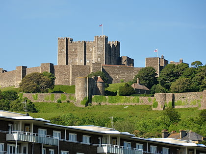
Nearby attractions include: Dover Castle, Dover Western Heights, St Mary in Castro, Knights Templar Church.
Frequently Asked Questions (FAQ)
Which popular attractions are close to St Edmund's Chapel?
Nearby attractions include Dover Town Hall, Dover (2 min walk), Dover Priory, Dover (4 min walk), Roman Painted House, Dover (5 min walk), St Mary's Church, Dover (5 min walk).
How to get to St Edmund's Chapel by public transport?
The nearest stations to St Edmund's Chapel:
Train
Bus
Ferry
Train
- Dover Priory (6 min walk)
Bus
- Eastern Docks • Lines: El450 (23 min walk)
Ferry
- Dover 9 • Lines: Dover - Calais, Dover/Douvres - Calais (27 min walk)
- Dover 8 • Lines: Dover - Calais, Dover/Douvres - Calais (27 min walk)


