St John's, Aberdeen
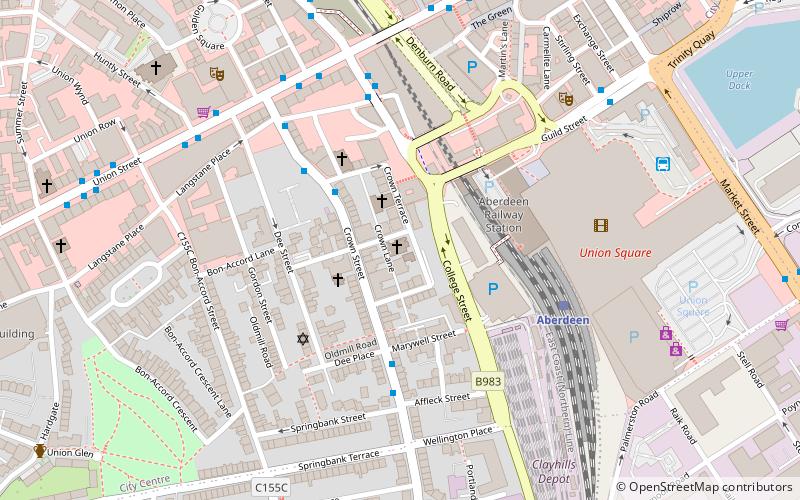
Map

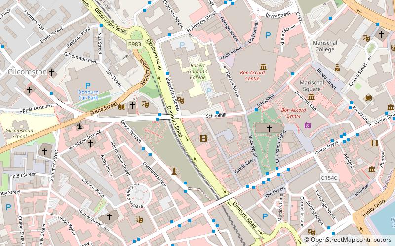
Map

Facts and practical information
St John the Evangelist — also known as St John's — off Crown Street is a Scottish Episcopal Church in Aberdeen, Scotland. ()
Architectural style: Gothic revivalCoordinates: 57°8'36"N, 2°6'4"W
Day trips
St John's – popular in the area (distance from the attraction)
Nearby attractions include: Union Street, Bon Accord & St Nicholas, Union Square Aberdeen, Trinity Centre.
Frequently Asked Questions (FAQ)
Which popular attractions are close to St John's?
Nearby attractions include Guild Street, Aberdeen (3 min walk), Aberdeen Synagogue, Aberdeen (3 min walk), Union Street, Aberdeen (4 min walk), Lang Stane, Aberdeen (5 min walk).
How to get to St John's by public transport?
The nearest stations to St John's:
Train
Bus
Train
- Aberdeen (4 min walk)
Bus
- Aberdeen Bus Station (6 min walk)
- Adelphi • Lines: 727 (9 min walk)


