St Peter's Church, Crewe
Map
Facts and practical information
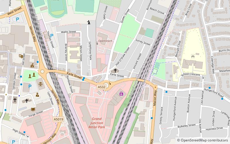
St Peter's Church is in Earle Street, Crewe, Cheshire, England. It is an active Anglican parish church in the deanery of Nantwich, the archdeaconry of Macclesfield, and the diocese of Chester. Its benefice is combined with that of All Saints and St Paul, Crewe. The church is recorded in the National Heritage List for England as a designated Grade II listed building. ()
Completed: 1923 (103 years ago)Coordinates: 53°5'54"N, 2°25'60"W
Getting there by public transportation
Public transportation stops near this location
- Bus
- Train
 Bus
Bus
- Calculate routeCrewe Bus Station 11 min walk
- Calculate routeCrewe 17 min walk
Day trips


Frequently Asked Questions (FAQ)
Which popular attractions are close to St Peter's Church?
Nearby attractions include Crewe Municipal Buildings, Crewe (7 min walk), Crewe War Memorial, Crewe (7 min walk), Christ Church Tower, Crewe (8 min walk), Crewe Heritage Centre, Crewe (9 min walk).
How to get to St Peter's Church by public transport?
The nearest stations to St Peter's Church:
Bus
Train
Bus
- Crewe Bus Station (11 min walk)
Train
- Crewe (17 min walk)