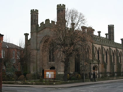
St Werburgh's Church, Derby
Map
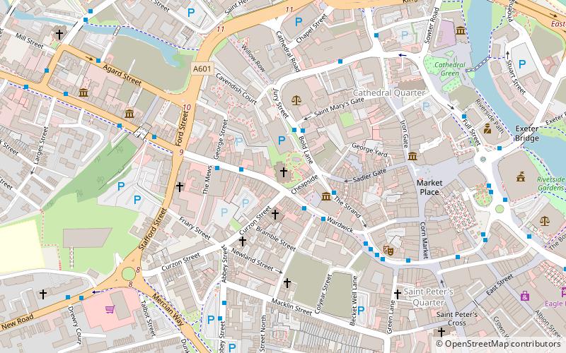
Map

Facts and practical information
St Werburgh's Church is an Anglican church on Friargate in the city of Derby, England. It is recorded in the National Heritage List for England as a Grade II* listed building. In this church, Samuel Johnson married Elizabeth Porter in 1735. ()
Completed: 1894 (132 years ago)Coordinates: 52°55'24"N, 1°28'52"W
Day trips
St Werburgh's Church – popular in the area (distance from the attraction)
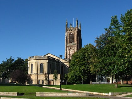
Nearby attractions include: Derbion, Derby Museum and Art Gallery, Derby Cathedral, St Mary's Bridge Chapel.
Frequently Asked Questions (FAQ)
Which popular attractions are close to St Werburgh's Church?
Nearby attractions include Derby Museum and Art Gallery, Derby (2 min walk), Derby Central Library, Derby (2 min walk), The Friary, Derby (3 min walk), Derby Baptist Chapel, Derby (4 min walk).
How to get to St Werburgh's Church by public transport?
The nearest stations to St Werburgh's Church:
Bus
Train
Bus
- Wardwick • Lines: Mickleover Blue, Mickleover Green, Swift, V1, V3 (2 min walk)
- Bold Lane Car Park • Lines: Unibus6 (2 min walk)
Train
- Derby (24 min walk)


