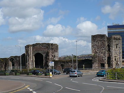
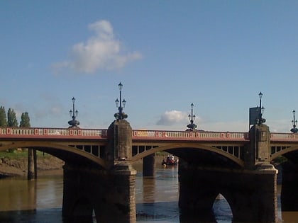
St. Julian's railway bridge, Newport
Map
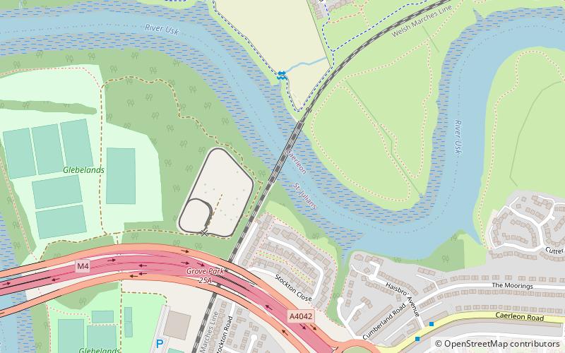
Map

Facts and practical information
The St. Julian's railway bridge is a crossing of the River Usk close to the city of Newport, South Wales. and currently carries the Welsh Marches Line across the river in a north—south direction. Due to the meanderings of the river, all the other crossings are east—west. ()
Coordinates: 51°36'23"N, 2°58'55"W
Address
Newport
ContactAdd
Social media
Add
Day trips
St. Julian's railway bridge – popular in the area (distance from the attraction)
Nearby attractions include: High Street, El Sieco's, Newport Market, Caerleon Roman Fortress and Baths.
Frequently Asked Questions (FAQ)
Which popular attractions are close to St. Julian's railway bridge?
Nearby attractions include M4 motorway Usk bridge, Newport (11 min walk), Crindau Marina, Newport (18 min walk), Brynglas Tunnels, Newport (18 min walk), Crindau, Newport (19 min walk).
How to get to St. Julian's railway bridge by public transport?
The nearest stations to St. Julian's railway bridge:
Bus
Bus
- Haisbro' Avenue • Lines: 27, 28 (7 min walk)
- Oak Street • Lines: 27, 28 (11 min walk)


