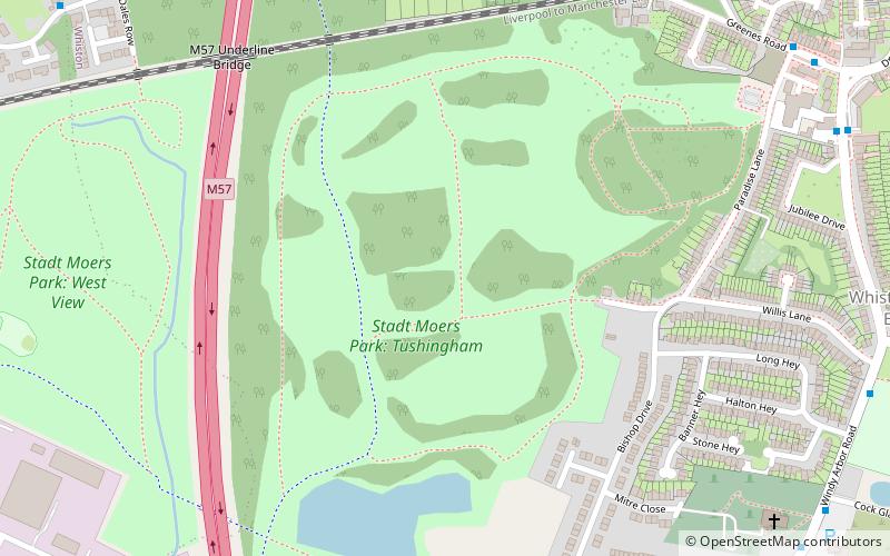
Stadt Moers Park, Prescot

Gallery (1)
Map
Map
Facts and practical information
Stadt Moers Park is a public park located in Whiston, Merseyside in the Metropolitan Borough of Knowsley. The park covers 220 acres of land between Whiston and Huyton. ()
Elevation: 125 ft a.s.l.Coordinates: 53°24'35"N, 2°48'33"W
Getting there by public transportation
Public transportation stops near this location
- Bus
- Train
 Bus
Bus
- Calculate routeWhiston 16 min walk
- Calculate routePrescot 27 min walk
- Calculate routeTarbock Road/Meadow Drive 28 min walk
Day trips
Stadt Moers Park – popular in the area (distance from the attraction)
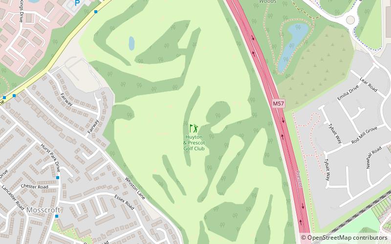
Nearby attractions include: Huyton & Prescot Golf Club, Cables Shopping Park, St Nicholas Church, Space World Play Centre.


Frequently Asked Questions (FAQ)
How to get to Stadt Moers Park by public transport?
The nearest stations to Stadt Moers Park:
Train
Bus
Train
- Whiston (16 min walk)
- Prescot (27 min walk)
Bus
- Tarbock Road/Meadow Drive • Lines: 7 (28 min walk)