Sweetbriar Road Meadows, Norwich
Map

Gallery

Facts and practical information
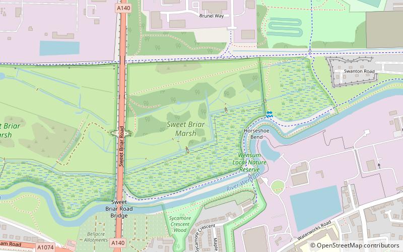
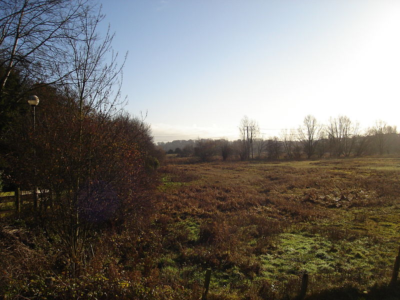
Sweetbriar Road Meadows is a 9.7-hectare biological Site of Special Scientific Interest in Norwich in Norfolk. ()
Elevation: 10 ft a.s.l.Coordinates: 52°38'27"N, 1°15'46"E
Address
Mile CrossNorwich
ContactAdd
Social media
Add
Day trips
Sweetbriar Road Meadows – popular in the area (distance from the attraction)
Nearby attractions include: Chantry Place, St John the Baptist Cathedral, The Forum, Waterloo Park.
Frequently Asked Questions (FAQ)
Which popular attractions are close to Sweetbriar Road Meadows?
Nearby attractions include Wensum Local Nature Reserve, Norwich (3 min walk), Earlham Road Cemetery, Norwich (16 min walk), Friends of St Mary's Church Hellesdon, Norwich (19 min walk).
How to get to Sweetbriar Road Meadows by public transport?
The nearest stations to Sweetbriar Road Meadows:
Bus
Bus
- Winchcomb Road • Lines: 23, 23A, 23B, 24, 24A, 5 (7 min walk)
- The Gatehouse • Lines: 23, 23A, 23B, 24, 24A, 31, 5 (9 min walk)


