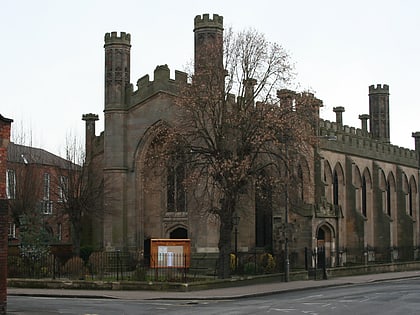
Saint Alkmund's Way Footbridge, Derby
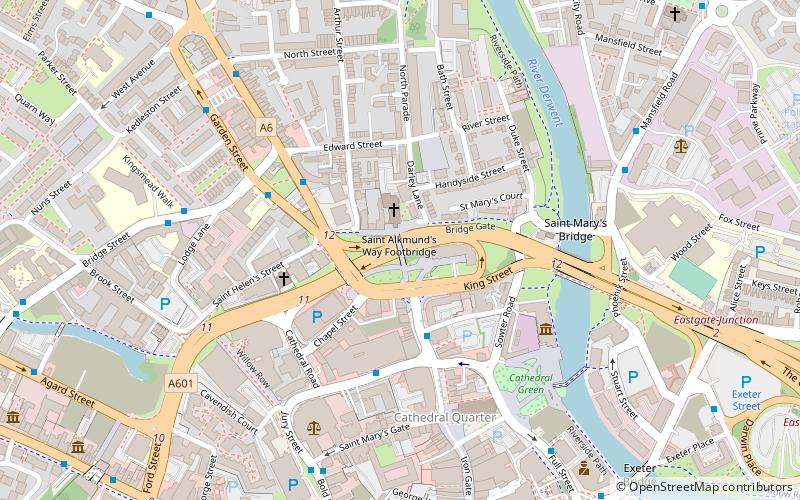
Map
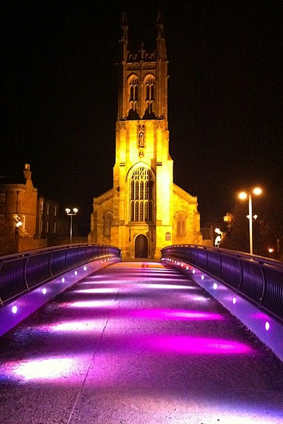
Gallery
Facts and practical information
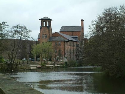
Saint Alkmund's Way Footbridge is a replacement cycle and footbridge in Derby, England over the A601. The 2007 design includes sculptures of silk bobbins at its entrance and exit that are inspired by the nearby Silk Mill museum. ()
Opened: 2007 (19 years ago)Coordinates: 52°55'37"N, 1°28'44"W
Address
DarleyDerby
ContactAdd
Social media
Add
Day trips
Saint Alkmund's Way Footbridge – popular in the area (distance from the attraction)
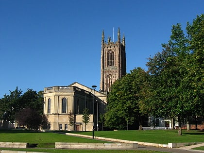
Nearby attractions include: Derby Museum and Art Gallery, Derby Cathedral, St Mary's Bridge Chapel, Exeter Bridge.
Frequently Asked Questions (FAQ)
Which popular attractions are close to Saint Alkmund's Way Footbridge?
Nearby attractions include St Mary's Church, Derby (1 min walk), St Michael's Church, Derby (2 min walk), St Mary's Bridge Chapel, Derby (4 min walk), Derby Baptist Chapel, Derby (4 min walk).
How to get to Saint Alkmund's Way Footbridge by public transport?
The nearest stations to Saint Alkmund's Way Footbridge:
Bus
Train
Bus
- Queen Street • Lines: 6.0, 6.1, 6.2, 6.3, 6.4, 6E (3 min walk)
- Queen's Leisure Centre • Lines: Unibus6 (3 min walk)
Train
- Derby (26 min walk)


