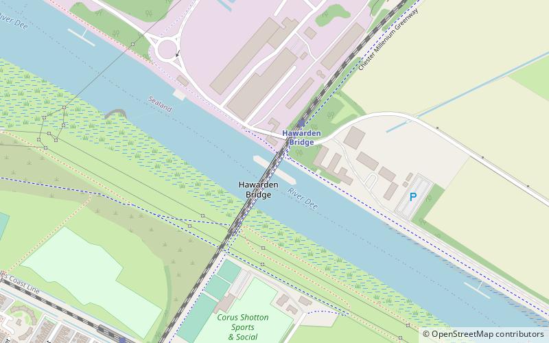
Hawarden Bridge, Deeside
Map

Map

Facts and practical information
Hawarden Bridge is a railway bridge over the River Dee, near Shotton, Flintshire, Wales. It was built by the Manchester, Sheffield and Lincolnshire Railway, as part of the Chester & Connah's Quay Railway. It opened on 3 August 1889. ()
Opened: 3 August 1889 (136 years ago)Coordinates: 53°13'2"N, 3°1'60"W
Address
Deeside
ContactAdd
Social media
Add
Day trips
Hawarden Bridge – popular in the area (distance from the attraction)
Nearby attractions include: Wales Coast Path, Deeside Leisure Centre, Jubilee Bridge, St Ethelwold's Church.
Frequently Asked Questions (FAQ)
Which popular attractions are close to Hawarden Bridge?
Nearby attractions include St Ethelwold's Church, Deeside (14 min walk), Jubilee Bridge, Deeside (21 min walk).
How to get to Hawarden Bridge by public transport?
The nearest stations to Hawarden Bridge:
Train
Bus
Train
- Hawarden Bridge (2 min walk)
- Shotton Low Level (8 min walk)
Bus
- Expressway Business Park • Lines: 5 (21 min walk)
- Station Road • Lines: 5 (22 min walk)


