Birchmeadow Playing Fields, Broseley
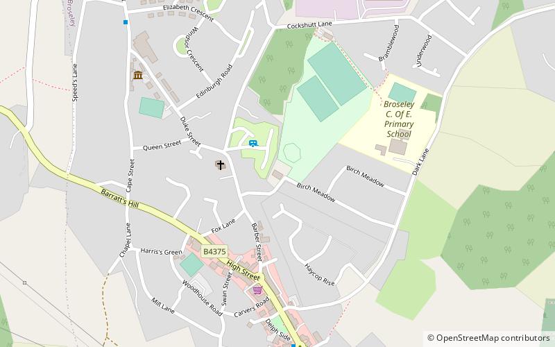
Map
Facts and practical information
Birchmeadow Playing Field Site is a 5.3-hectare recreational area in Broseley, England, consisting of a mixture of woodland, play area, and a football pitch. It was also one of the first places where a wooden railway was built. The site is protected by Fields in Trust through a legal "Deed of Dedication" safeguarding the future of the space as public recreation land for future generations to enjoy. ()
Elevation: 522 ft a.s.l.Coordinates: 52°36'55"N, 2°28'55"W
Day trips


Frequently Asked Questions (FAQ)
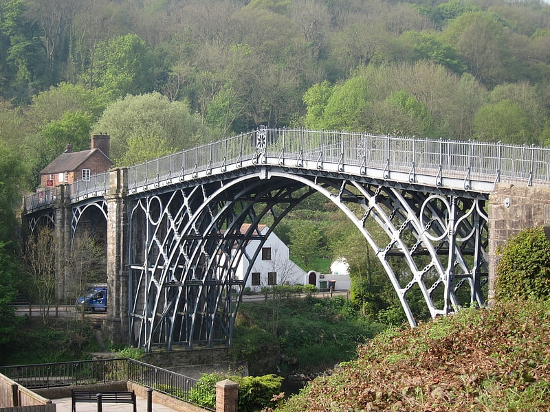
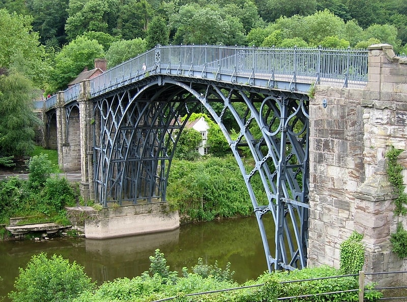
Which popular attractions are close to Birchmeadow Playing Fields?
Nearby attractions include Broseley Pipeworks, Broseley (6 min walk), Ironbridge Gorge, Ironbridge (22 min walk), The Iron Bridge, Ironbridge (22 min walk), Enginuity, Ironbridge (23 min walk).