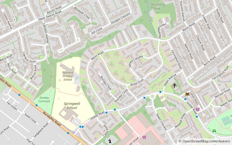
Thornhill, Southampton
Map

Map

Facts and practical information
Thornhill is a suburb of Southampton, United Kingdom, situated on the eastern border of the city and bounded by three major roads. According to the 2001 census the population was 11,460. The under 16s represent 23.4% of the population, 5% more than the city figure of 18.2%; the over 65s represent 17.4%, again, higher than the city average of 14.5%. ()
Coordinates: 50°54'36"N, 1°20'24"W
Address
380 Hinkler RoadSouthampton Itchen (Bitterne)Southampton
ContactAdd
Social media
Add
Day trips
Thornhill – popular in the area (distance from the attraction)
Nearby attractions include: Netley Common, Miller's Pond, Bursledon Windmill, Hinkler Community Garden.
Frequently Asked Questions (FAQ)
Which popular attractions are close to Thornhill?
Nearby attractions include Hinkler Community Garden, Southampton (11 min walk), Bitterne Library, Southampton (19 min walk), Netley Common, Southampton (22 min walk).
How to get to Thornhill by public transport?
The nearest stations to Thornhill:
Bus
Train
Bus
- Bramble Mews • Lines: U9 (28 min walk)
- Montgomery Road • Lines: U9 (30 min walk)
Train
- Sholing (36 min walk)


