Casco Bay Bridge, Portland
Map
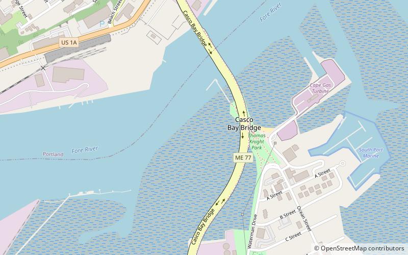
Map

Facts and practical information
The Casco Bay Bridge is a bascule bridge that spans the Fore River, connecting South Portland and Portland, Maine, United States. The bridge carries four lanes of State Route 77, a bike lane in each direction, and a pedestrian sidewalk on the east side of the span. ()
Opened: 1997 (29 years ago)Coordinates: 43°38'34"N, 70°15'30"W
Day trips
Casco Bay Bridge – popular in the area (distance from the attraction)
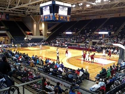
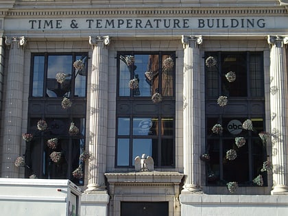
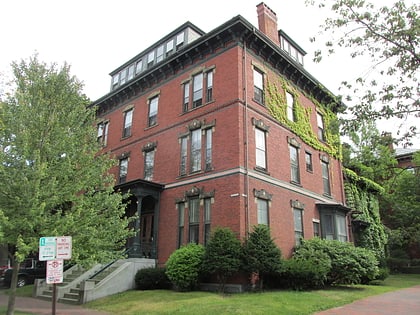
Nearby attractions include: Cross Insurance Arena, Time and Temperature Building, Thomas Brackett Reed House, Portland Museum of Art.
Frequently Asked Questions (FAQ)
Which popular attractions are close to Casco Bay Bridge?
Nearby attractions include South Port Marine, South Portland (9 min walk), Hamblen Block, Portland (13 min walk), Hamblen Development Historic District, Portland (13 min walk), Maine Irish Heritage Center, Portland (15 min walk).
How to get to Casco Bay Bridge by public transport?
The nearest stations to Casco Bay Bridge:
Bus
Ferry
Bus
- York Street + State Street, Stop 1184 • Lines: Bus Route SMTT 21 Outbound (12 min walk)
- Congress St + Center St • Lines: 2, Brz (25 min walk)
Ferry
- Casco Bay Lines Ferry Terminal (28 min walk)

