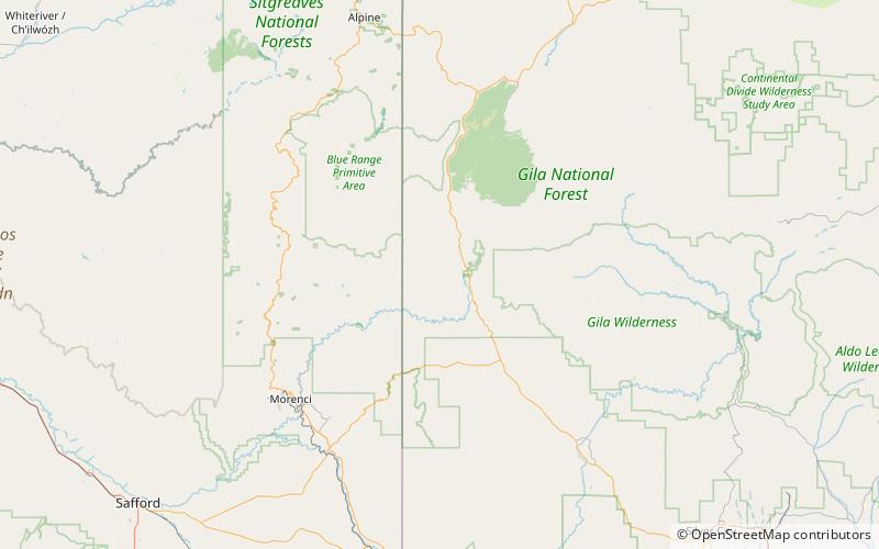
Sierra Aguilada, Gila National Forest

Map
Facts and practical information
The Sierra Aguilada is a mountain range in southwest Catron County, New Mexico on the eastern perimeter of Arizona's White Mountains. The Mogollon Mountains of New Mexico lie just east, with a south-flowing section of the San Francisco River separating them. The river then turns west, forming the southern border of the Sierra Aguilada, and continues to eventually intercept the Gila River after traversing northwest of the Big Lue Mountains of Arizona. ()
Maximum elevation: 7405 ftCoordinates: 33°18'45"N, 108°57'18"W
Address
Gila National Forest
ContactAdd
Social media
Add