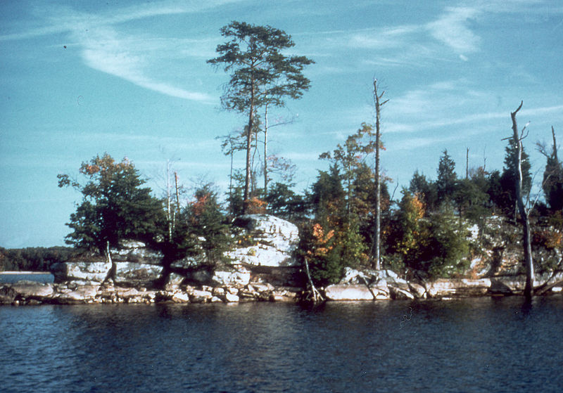
Laurel River Lake, Daniel Boone National Forest

Gallery (2)
Map
Map
Gallery
Facts and practical information
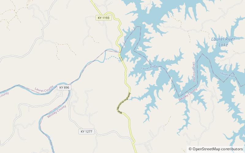
Laurel River Lake, located west of Corbin, Kentucky, in the U.S., is a reservoir built in 1977 by the U.S. Army Corps of Engineers on the Laurel River, a tributary of the Cumberland River, in the Daniel Boone National Forest. The lake covers parts of Laurel and Whitley counties. ()
Elevation: 1070 ft a.s.l.Coordinates: 36°57'0"N, 84°16'0"W
Address
Daniel Boone National Forest
ContactAdd
Social media
Add