Little Creek Peak, Dixie National Forest

Map
Facts and practical information
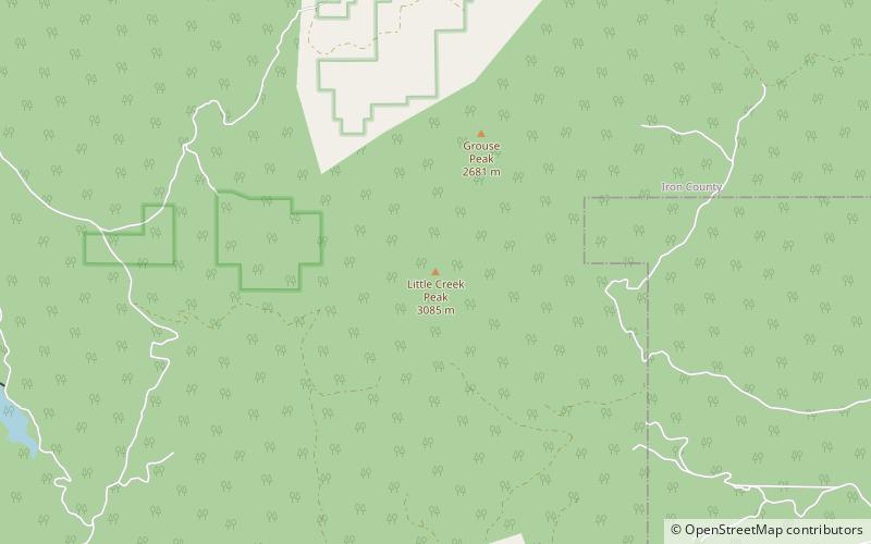
Little Creek Peak is a mountain in eastern Iron County in southwestern Utah in the United States. the summit, at 10,145 feet NAVD 88, is about 29 miles northeast of Cedar City between I-15 and U.S. Route 89. The mountain is in the Dixie National Forest. ()
Elevation: 10145 ftProminence: 1180 ftCoordinates: 37°52'52"N, 112°36'43"W
Address
Dixie National Forest
ContactAdd
Social media
Add