Tallahatchee Covered Bridge, Cheaha State Park

Map
Facts and practical information
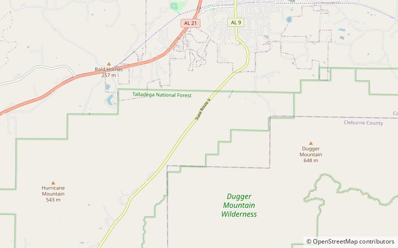
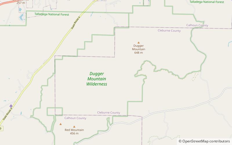
The Tallahatchee Covered Bridge, also known as the Prickett Covered Bridge, was a privately owned wood and metal combination style covered bridge which spanned a pond near Nances Creek in Calhoun County, Alabama, United States. It was located just off State Route 9, about 2 miles south of the city of Piedmont. Approximate coordinates were 33°53′16.13″N 85°37′33.70″W. ()
Coordinates: 33°53'16"N, 85°37'34"W
Address
Cheaha State Park
ContactAdd
Social media
Add
Day trips
Tallahatchee Covered Bridge – popular in the area (distance from the attraction)
Nearby attractions include: Dugger Mountain Wilderness.
