Shakopee Bridge, Shakopee
Map
Facts and practical information
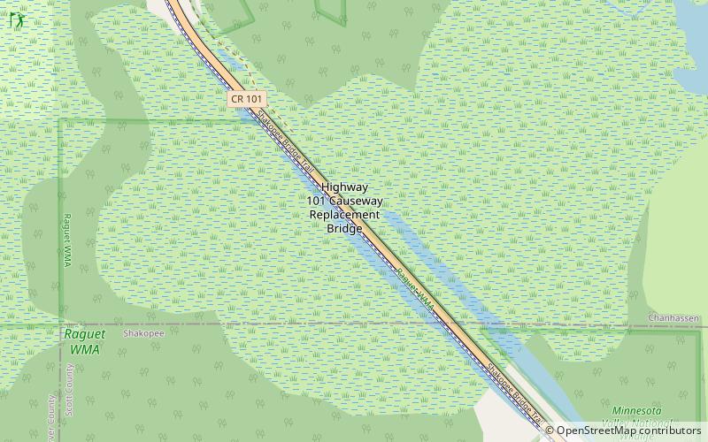
The Shakopee Bridge is a four-lane vehicular bridge crossing the Minnesota River between Chanhassen and downtown Shakopee. The bridge carries Scott County Road 101 traffic across the bridge. This bridge opened in 1993, one city block downstream from a two-lane bridge it replaced. ()
Opened: 1993 (33 years ago)Coordinates: 44°48'24"N, 93°32'1"W
Address
Shakopee
ContactAdd
Social media
Add
Day trips
Shakopee Bridge – popular in the area (distance from the attraction)
Nearby attractions include: Valleyfair, Canterbury Park, Steel Venom, Eden Prairie Center.
