Hurricane Deck, San Rafael Wilderness

Map
Facts and practical information
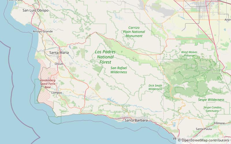
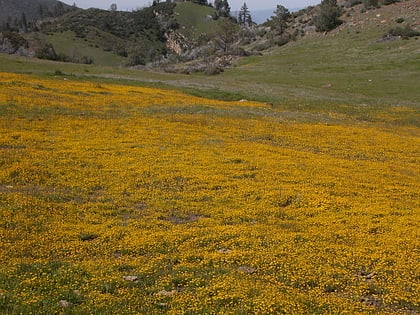
Hurricane Deck is a short mountain range in Santa Barbara County, California in the Los Padres National Forest. The range lies entirely in the San Rafael Wilderness and separates the drainages of the main stem of the Sisquoc River from its tributary, Manzana Creek. It is the northernmost subrange of the San Rafael Mountains; to the north lies the Sierra Madre Mountains. ()
Maximum elevation: 39600 ftCoordinates: 34°47'60"N, 119°54'0"W
Address
San Rafael Wilderness
ContactAdd
Social media
Add
Day trips
Hurricane Deck – popular in the area (distance from the attraction)
Nearby attractions include: Figueroa Mountain.
