Lion Bridge, Modesto

Map
Facts and practical information
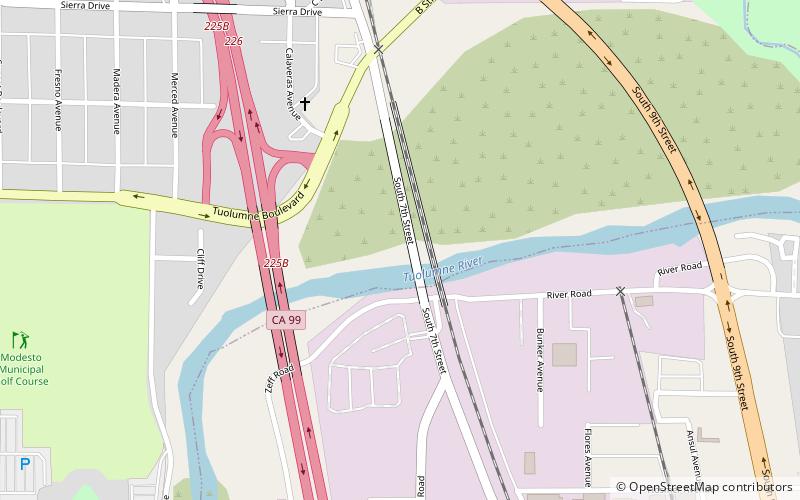
The Lion Bridge is a historic cantilever bridge built over the Tuolumne River in central Stanislaus County which connects the city of Modesto, California on the north with the census-designated places of Shackelford and Bystrom on the south. ()
Coordinates: 37°37'37"N, 120°59'38"W
Address
Riverside HeightsModesto
ContactAdd
Social media
Add
Day trips
Lion Bridge – popular in the area (distance from the attraction)
Nearby attractions include: John Thurman Field, McHenry Mansion, Gallo Center for the Arts, Modesto Arch.
Frequently Asked Questions (FAQ)
Which popular attractions are close to Lion Bridge?
Nearby attractions include John Thurman Field, Modesto (13 min walk), Modesto Arch, Modesto (23 min walk), Shackelford, Modesto (24 min walk), Gallo Center for the Arts, Modesto (24 min walk).
How to get to Lion Bridge by public transport?
The nearest stations to Lion Bridge:
Bus
Bus
- Modesto Greyhound Bus Stop (25 min walk)
- Southern Pacific Bus Station (25 min walk)


