South Berkeley Community Church, Berkeley

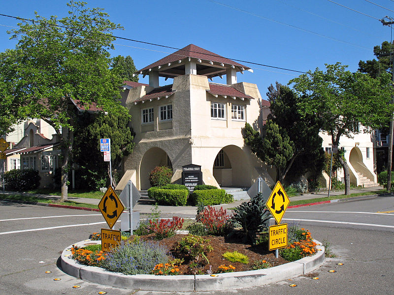
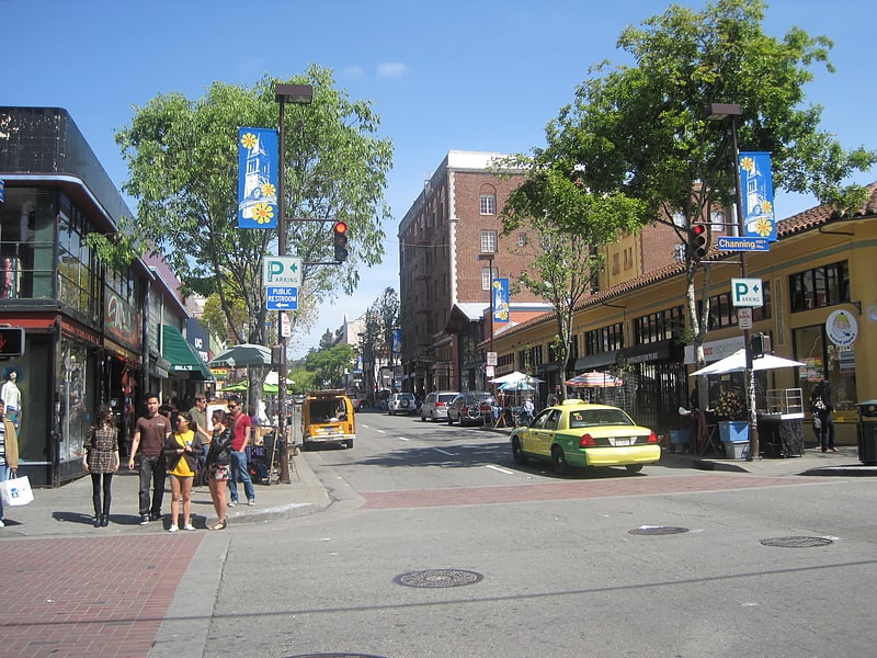
Gallery (2)
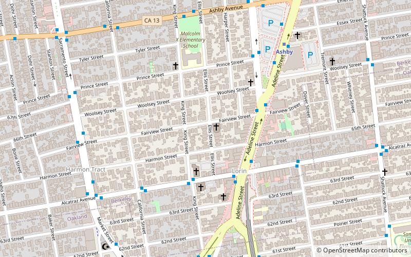
Map
Map
Gallery
Facts and practical information
The South Berkeley Community Church is a historic church at 1802 Fairview Street in Berkeley, California. It was added to the National Register of Historic Places in 2007. ()
Built: 1943 (83 years ago)Coordinates: 37°51'1"N, 122°16'23"W
Address
Berkeley (South Berkeley)Berkeley
ContactAdd
Social media
Add
Getting there by public transportation
Public transportation stops near this location
- Metro
- Bus
- Train
 Metro
Metro
- Calculate routeAdeline Street & Fairview Street 4 min walk
- Calculate routeMartin Luther King Junior Way & Prince Street 6 min walk
- Calculate routeAshby Avenue & King Street 7 min walk
- Calculate routeAshby BART 7 min walk
- Calculate routeAshby 7 min walk
- Calculate routeEmeryville 32 min walk
Day trips


Frequently Asked Questions (FAQ)
Which popular attractions are close to South Berkeley Community Church?
Nearby attractions include South Berkeley, Berkeley (3 min walk), Lorin, Berkeley (4 min walk), Shotgun Players, Berkeley (9 min walk), Lacis Museum of Lace and Textiles, Berkeley (10 min walk).
How to get to South Berkeley Community Church by public transport?
The nearest stations to South Berkeley Community Church:
Bus
Metro
Train
Bus
- Adeline Street & Fairview Street • Lines: 12, F (4 min walk)
- Martin Luther King Junior Way & Prince Street • Lines: 12 (6 min walk)
Metro
- Ashby • Lines: Orange, Red (7 min walk)
Train
- Emeryville (32 min walk)