Rush Historic District, Upper Buffalo Wilderness
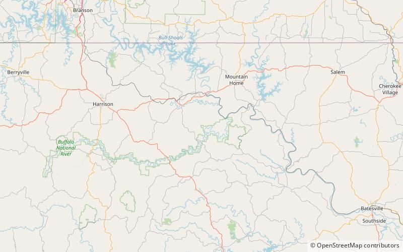
Map

Map

Facts and practical information
The Rush Historic District is a zinc mining region of the Ozark Mountains in Arkansas. Now located within Buffalo National River, the district includes ruins dating from 1880 to 1940. The area was an important part of what became known as the North Arkansas Lead and Zinc District, and played a role in the development of railroads and modern infrastructure in the area. ()
Elevation: 522 ft a.s.l.Coordinates: 36°7'57"N, 92°34'16"W
Address
Upper Buffalo Wilderness
ContactAdd
Social media
Add
Day trips
Rush Historic District – popular in the area (distance from the attraction)
Nearby attractions include: Buffalo National River.

