Balls, Sierra National Forest

Map
Facts and practical information
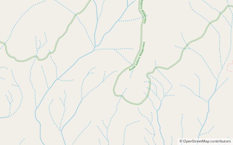
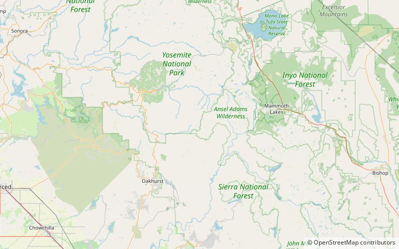
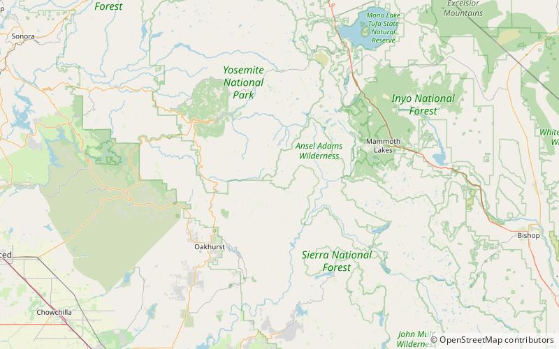
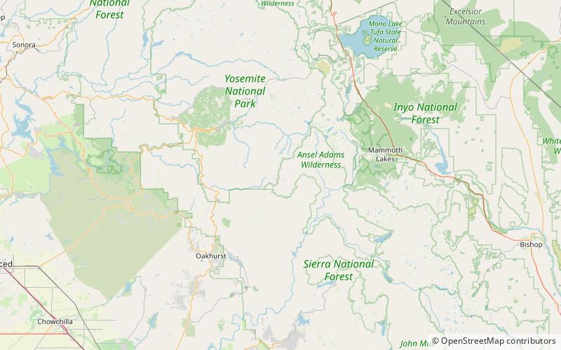
The Balls are a mountain range within the Sierra Nevada, in Madera County, California. They are "glacier-carved granite domes" and have been described as "looking like smooth scoops of butterscotch ice cream". The mountain range has federal protection as part of the Sierra National Forest. ()
Maximum elevation: 7917 ftElevation: 7917 ftCoordinates: 37°30'28"N, 119°21'22"W
Address
Sierra National Forest
ContactAdd
Social media
Add
Day trips
Balls – popular in the area (distance from the attraction)
Nearby attractions include: Breeze Lake, Chittenden Lake, Blackie Lake.


