Shawnee Peak, Lost Creek Wilderness
Map
Facts and practical information
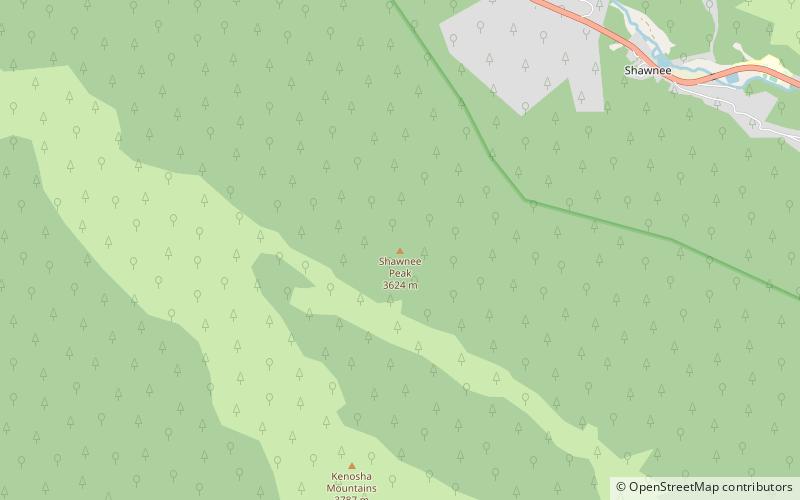
Shawnee Peak, elevation 11,932 ft, is a summit in the Kenosha Mountains of central Colorado. The peak is in the Lost Creek Wilderness of Pike National Forest west of Bailey. ()
Elevation: 11932 ftProminence: 307 ftCoordinates: 39°23'48"N, 105°35'49"W
Address
Lost Creek Wilderness
ContactAdd
Social media
Add
Day trips
Shawnee Peak – popular in the area (distance from the attraction)
Nearby attractions include: Kenosha Mountains.
