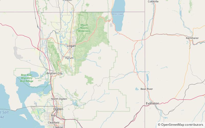
Monte Cristo Range, Wasatch–Cache National Forest

Map
Facts and practical information
The Monte Cristo Range of Utah is a 30 miles long mountain range in the extreme northeast of the state. It parallels the Bear River Mountains to the west, but is only about half its length. ()
Maximum elevation: 9081 ftCoordinates: 41°35'7"N, 111°30'4"W
Address
Wasatch–Cache National Forest
ContactAdd
Social media
Add
Day trips
Monte Cristo Range – popular in the area (distance from the attraction)
Nearby attractions include: Hardware Ranch.
