Sylvania Historical Village, Sylvania
Map

Map

Facts and practical information
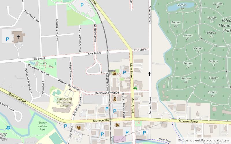
Sylvania Historical Village (address: 5717 Main St) is a place located in Sylvania (Ohio state) and belongs to the category of museum.
It is situated at an altitude of 659 feet, and its geographical coordinates are 41°43'6"N latitude and 83°42'16"W longitude.
Among other places and attractions worth visiting in the area are: Lourdes University (universities and schools, 14 min walk), R. A. Stranahan Arboretum, Toledo (park, 62 min walk), University/Parks Trail, Toledo (park, 70 min walk).
Coordinates: 41°43'6"N, 83°42'16"W
Day trips
Sylvania Historical Village – popular in the area (distance from the attraction)
Nearby attractions include: Inverness Club, Franklin Park Mall, Toledo Botanical Garden, Wildwood Preserve Metropark.


