Roper's Knob Fortifications, Franklin

Map
Facts and practical information
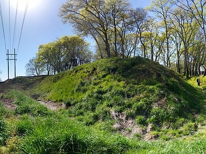
Roper's Knob Fortifications were constructed by Union Army forces between February and May 1863 in Franklin, Tennessee. According to Tennessee Archaeology, "Roper's Knob served as part of a chain of signal stations that provided a communications link from Franklin to Murfreesboro. Additionally the knob had a large redoubt capable of holding four large artillery pieces, a blockhouse, cisterns, and a magazine... " ()
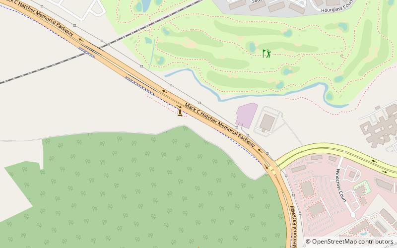
Built: 1863 (163 years ago)Coordinates: 35°56'32"N, 86°50'33"W
Address
Central FranklinFranklin
ContactAdd
Social media
Add
Day trips
Roper's Knob Fortifications – popular in the area (distance from the attraction)
Nearby attractions include: Fort Granger, Nashville Tennessee Temple, Boiler Room Theatre, Alpheus Truett House.


