Honolulu Harbor, Honolulu
Map

Map

Facts and practical information
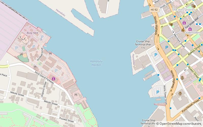
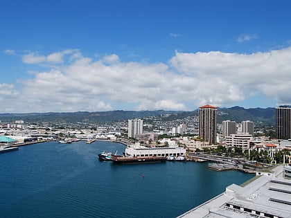
Honolulu Harbor, also called Kulolia and Ke Awa O Kou, is the principal seaport of Honolulu and the State of Hawaiʻi in the United States. From the harbor, the City & County of Honolulu was developed and urbanized, in an outward fashion, over the course of the modern history of the island of Oahu. It includes Matson, Inc. harbors on Sand Island. ()
Day trips
Honolulu Harbor – popular in the area (distance from the attraction)
Nearby attractions include: Aloha Tower Marketplace, Aloha Tower, Statues of Kamehameha I, Neal S. Blaisdell Center.
Frequently Asked Questions (FAQ)
Which popular attractions are close to Honolulu Harbor?
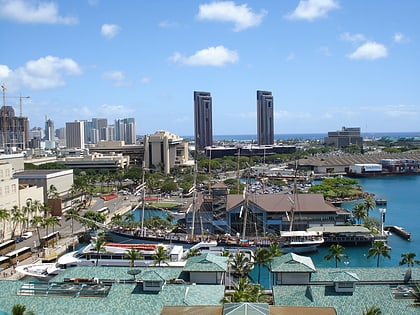
Nearby attractions include Aloha Tower, Honolulu (6 min walk), Falls of Clyde Ship, Honolulu (7 min walk), Hawaii Maritime Center, Honolulu (7 min walk), Aloha Tower Marketplace, Honolulu (7 min walk).
How to get to Honolulu Harbor by public transport?
The nearest stations to Honolulu Harbor:
Bus
Bus
- Queen Street + Fort Street Mall • Lines: 4 (10 min walk)
- Alakea Street + Nimitz Highway • Lines: 19, 20, 56, 57, 57A, 60, 65, 80A, 88A, 94 (11 min walk)


