Joliet Iron and Steel Works, Joliet
Map

Gallery

Facts and practical information
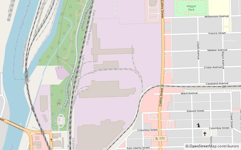
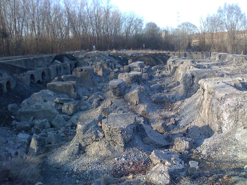
The Joliet Iron and Steel Works was once the second largest steel mill in the United States. Joliet Iron Works was initially run from 1869 to 1936. Joliet Steel Works eventually became unprofitable, and all operations were ceased by the early 1980s. ()
Coordinates: 41°32'21"N, 88°4'32"W
Address
Joliet
ContactAdd
Social media
Add
Day trips
Joliet Iron and Steel Works – popular in the area (distance from the attraction)
Nearby attractions include: Silver Cross Field, Harrah's Joliet, Rialto Square Theatre, Joliet Area Historical Museum.
Frequently Asked Questions (FAQ)
Which popular attractions are close to Joliet Iron and Steel Works?
Nearby attractions include Chicago Street Pinball Arcade, Joliet (22 min walk), Joliet Area Historical Museum, Joliet (23 min walk), Joliet Public Library, Joliet (24 min walk).
How to get to Joliet Iron and Steel Works by public transport?
The nearest stations to Joliet Iron and Steel Works:
Bus
Train
Bus
- Joliet & Webster • Lines: 832 (22 min walk)
- Scott & Jefferson • Lines: 832 (26 min walk)
Train
- Joliet (27 min walk)


