Eastway Park, Charlotte
Map
Facts and practical information
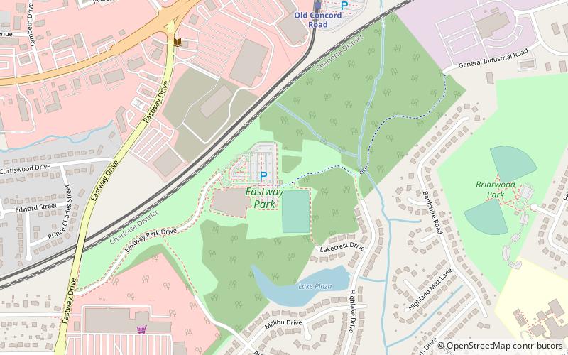
Eastway Park is a ninety-acre urban park at 423 Eastway Drive in Charlotte, North Carolina and is directly adjacent to Briarwood Park. It features walking trails, community art, disc golf, and multipurpose sports fields. It is a popular venue for disc golf. ()
Elevation: 745 ft a.s.l.Coordinates: 35°15'21"N, 80°46'26"W
Getting there by public transportation
Public transportation stops near this location
- Light rail
 Light rail
- Calculate routeOld Concord Road 8 min walk
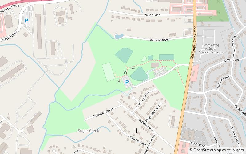
- Calculate routeSugar Creek 29 min walk
Day trips


Frequently Asked Questions (FAQ)
How to get to Eastway Park by public transport?
The nearest stations to Eastway Park:
Light rail
Light rail
- Old Concord Road • Lines: Blue (8 min walk)
- Sugar Creek • Lines: Blue (29 min walk)