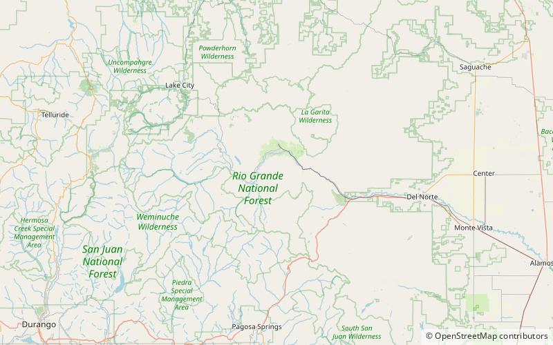
Fish Canyon Tuff, Rio Grande National Forest
Map

Map

Facts and practical information
The Fish Canyon Tuff is the large volcanic ash flow deposit resulting from one of the largest known explosive eruptions on Earth, estimated at 1,200 cu mi. The eruption was centered at La Garita Caldera in southwest Colorado. The tuff can be assumed to belong to one eruption due to its high chemical consistency (SiO2=bulk 67.5–68.5%, matrix 75–76% and consistent phenocryst content and composition. This tuff and eruption is part of the larger San Juan volcanic field and Mid-Tertiary ignimbrite flare-up. ()
Coordinates: 37°45'23"N, 106°56'2"W
Address
Rio Grande National Forest
ContactAdd
Social media
Add
Day trips
Fish Canyon Tuff – popular in the area (distance from the attraction)
Nearby attractions include: La Garita Caldera, Sevenmile Bridge.


