Nauset Archeological District, Cape Cod National Seashore

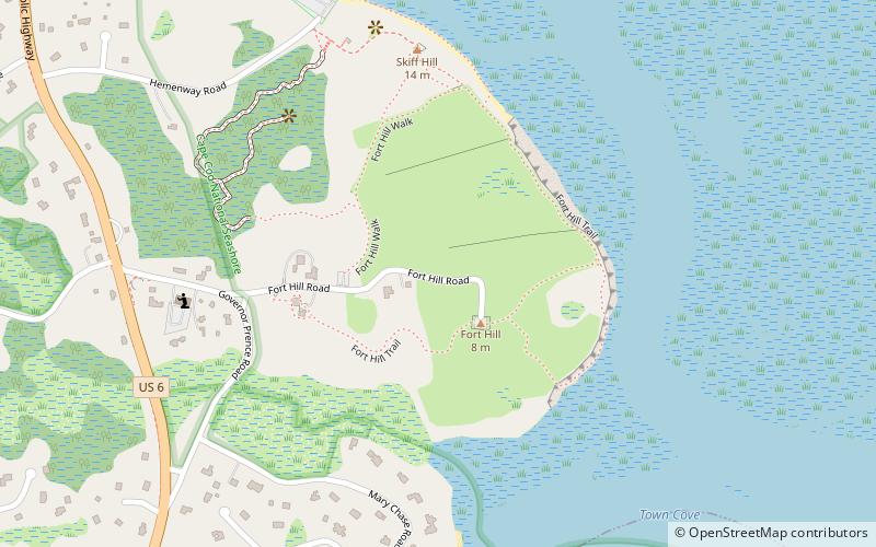
Map
Facts and practical information
The Nauset Archaeological District is a National Historic Landmark District in Eastham, Massachusetts. Located within the southern portion of the Cape Cod National Seashore, this area was the location of substantial ancient settlements since at least 4,000 BC. ()
Built: 4000 B.C.E.Coordinates: 41°49'8"N, 69°57'46"W
Address
Outer Cape (Eastham)Cape Cod National Seashore
ContactAdd
Social media
Add
Day trips
Nauset Archeological District – popular in the area (distance from the attraction)
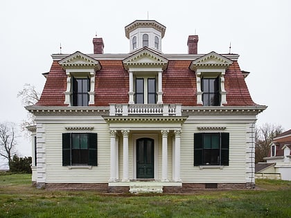
Nearby attractions include: Eastham Windmill, Edward Penniman House and Barn, Cove Burying Ground, Bridge Road Cemetery.
Frequently Asked Questions (FAQ)
Which popular attractions are close to Nauset Archeological District?
Nearby attractions include Edward Penniman House and Barn, Cape Cod National Seashore (4 min walk), Cove Burying Ground, Eastham (17 min walk), Eastham Center Historic District, Eastham (21 min walk).


