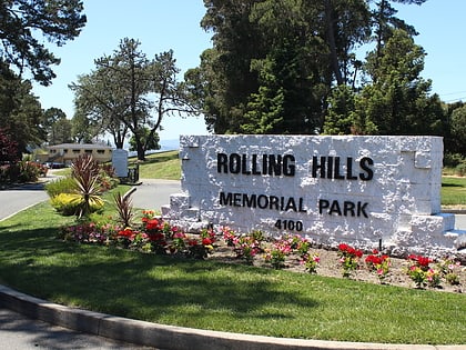
Rolling Hills Memorial Park, Richmond
Map
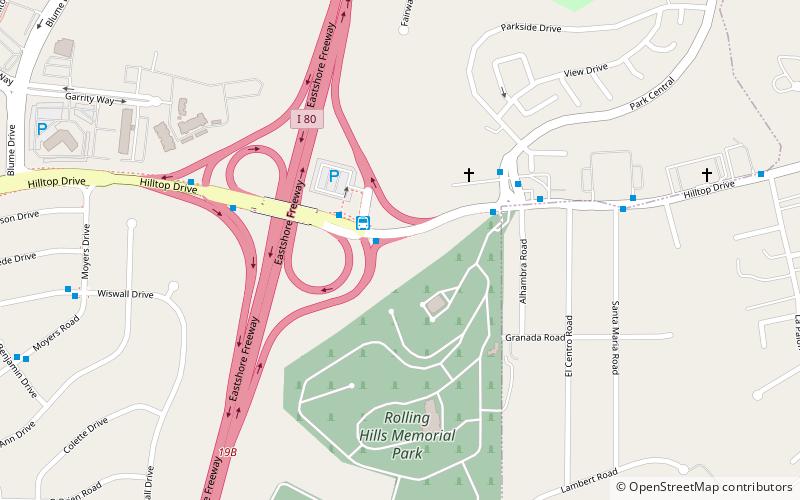
Map

Facts and practical information
Rolling Hills Memorial Park is a cemetery in Richmond, Contra Costa County, California, established in 1960. The site has approximately 50,000 interments. ()
Coordinates: 37°58'32"N, 122°18'58"W
Address
El SobranteRichmond
ContactAdd
Social media
Add
Day trips
Rolling Hills Memorial Park – popular in the area (distance from the attraction)
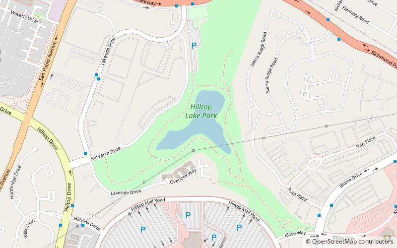
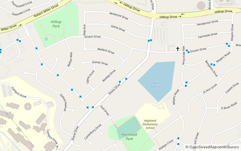
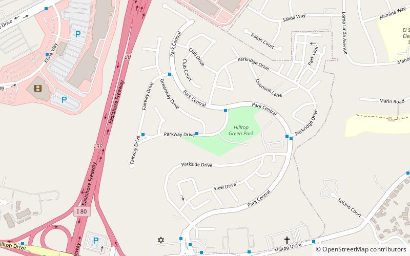
Nearby attractions include: Prologis Hilltop Center, Hilltop Lake Park, Fairmede-Hilltop, Hilltop Green.
Frequently Asked Questions (FAQ)
Which popular attractions are close to Rolling Hills Memorial Park?
Nearby attractions include Hilltop Green, Richmond (10 min walk), Fairmede-Hilltop, Richmond (21 min walk).
How to get to Rolling Hills Memorial Park by public transport?
The nearest stations to Rolling Hills Memorial Park:
Bus
Bus
- Hilltop Park and Ride (2 min walk)
- Groom Drive & Moyers Road • Lines: 72 (10 min walk)
