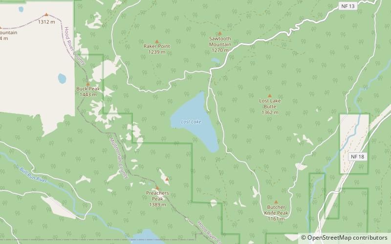
Lost Lake, Mount Hood National Forest
Map

Map

Facts and practical information
Lost Lake is a lake in Mount Hood National Forest 16.2 kilometres northwest of Mount Hood in Hood River County in the U.S. state of Oregon. It is 34.4 kilometres southwest of Hood River, a 26.4-mile drive. ()
Area: 0.38 mi²Length: 5395 ftWidth: 4150 ftMaximum depth: 167 ftElevation: 3146 ft a.s.l.Coordinates: 45°29'21"N, 121°49'19"W
Address
Mount Hood National Forest
ContactAdd
Social media
Add
Day trips
Lost Lake – popular in the area (distance from the attraction)
Nearby attractions include: Mark O. Hatfield Memorial Trail, Bull Run Lake.


