Dardanelles Cone, Carson-Iceberg Wilderness
Map

Map

Facts and practical information
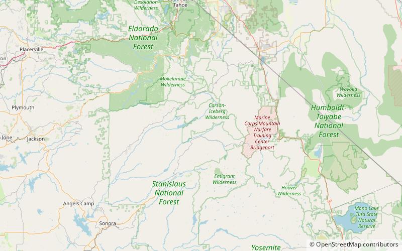
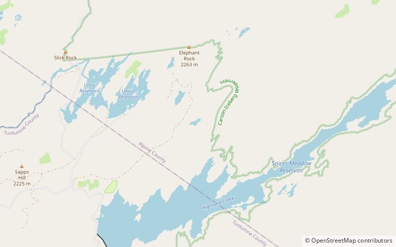
Dardanelles Cone is a mountain peak in the Carson-Iceberg Wilderness on the Stanislaus National Forest. It lies near Sonora Pass in the Sierra Nevada of California. It is between State Route 4 and State Route 108. ()
Elevation: 9527 ftProminence: 1382 ftCoordinates: 38°24'17"N, 119°52'19"W
Address
Carson-Iceberg Wilderness
ContactAdd
Social media
Add
Day trips
Dardanelles Cone – popular in the area (distance from the attraction)
Nearby attractions include: Mud Lake.

