Denver Heights COGIC, San Antonio
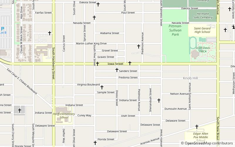
Map
Facts and practical information
Denver Heights COGIC, also known as The Mother Church, is a Pentecostal church in San Antonio, Texas. It has historical significance since it is one of the first churches in the United States to be founded after the Azusa Street Revival that took place in Los Angeles, California on April 14, 1906. The participants received criticism from secular media and Christian Theologians for behaviors considered outrageous and unorthodox at the time. Today, the revival is considered by historians to be the primary catalyst for the spread of Pentecostalism in the 20th century. Denver Heights is considered to be the birthplace of modern-day Pentecostalism in San Antonio and South Texas. ()
Coordinates: 29°24'41"N, 98°28'7"W
Address
Central City (Denver Heights)San Antonio
ContactAdd
Social media
Add
Getting there by public transportation
Public transportation stops near this location
- Bus
- Train
 Bus
Bus
- Calculate routeSan Antonio 21 min walk
- Calculate routeRobert Thompson Transit Station 21 min walk
Day trips


Frequently Asked Questions (FAQ)
Which popular attractions are close to Denver Heights COGIC?
Nearby attractions include Mount Zion First Baptist Church, San Antonio (9 min walk), San Antonio National Cemetery, San Antonio (19 min walk), Institute of Texan Cultures, San Antonio (23 min walk).
How to get to Denver Heights COGIC by public transport?
The nearest stations to Denver Heights COGIC:
Train
Bus
Train
- San Antonio (21 min walk)
Bus
- Robert Thompson Transit Station (21 min walk)