Spanish Peaks, Lee Metcalf Wilderness

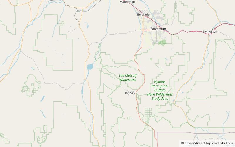
Map
Facts and practical information
The Spanish Peaks, avg el. 8,441 feet, is a mountain range between Bozeman, Montana and Ennis, Montana in Gallatin and Madison County, Montana. It is a sub-range of the much larger Madison Range, itself a sub-range of the Rocky Mountains. The hydrological divide of the range serves as the border between Gallatin and Madison County, Montana. The Spanish Peaks are made up of 1.6 billion year-old gneiss, making them the oldest peaks in the Madison Range, predating the rest of the range by 50-60 million years. Gallatin Peak, el. 11,015 ft. is the highest peak in the group. ()
Maximum elevation: 11015 ftCoordinates: 45°23'13"N, 111°25'37"W
Address
Lee Metcalf Wilderness
ContactAdd
Social media
Add
Day trips
Spanish Peaks – popular in the area (distance from the attraction)
Nearby attractions include: Moonlight Basin.
