Duluth Ship Canal, Duluth
Map

Gallery
Facts and practical information
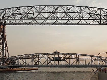
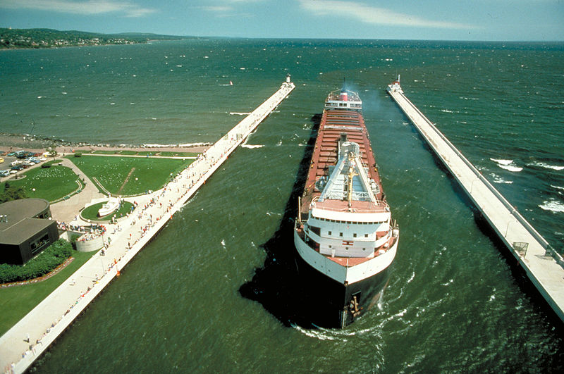
The Duluth Ship Canal is an artificial canal cut through Minnesota Point, providing direct access to Duluth harbor from Lake Superior. Begun privately in 1871, it was put under federal supervision and maintenance several years later. It is still an important component of the harbor facilities. ()
Coordinates: 46°46'46"N, 92°5'29"W
Address
Duluth
ContactAdd
Social media
Add
Day trips
Duluth Ship Canal – popular in the area (distance from the attraction)
Nearby attractions include: Duluth Entertainment Convention Center, Aerial Lift Bridge, Lake Superior Railroad Museum, Lake Superior Maritime Visitor Center.
Frequently Asked Questions (FAQ)
Which popular attractions are close to Duluth Ship Canal?
Nearby attractions include Duluth South Breakwater Inner Light, Duluth (2 min walk), Lake Superior Maritime Visitor Center, Duluth (2 min walk), Aerial Lift Bridge, Duluth (2 min walk), Duluth South Breakwater Outer Light, Duluth (5 min walk).
How to get to Duluth Ship Canal by public transport?
The nearest stations to Duluth Ship Canal:
Train
Train
- Union Depot (16 min walk)


