Beaverton City Park, Beaverton
Map

Map

Facts and practical information
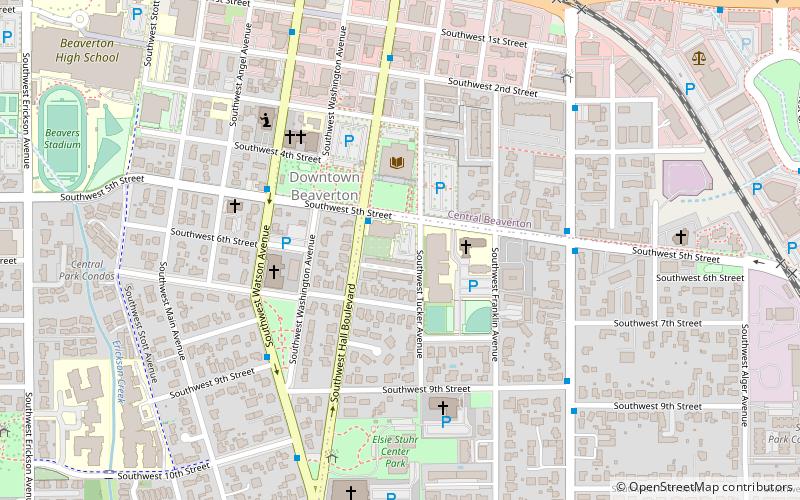
Beaverton City Park, also known as City Fountain Park, is a park in front of the library building at Southwest Fifth Street and Southwest Hall Boulevard in downtown Beaverton, Oregon, in the United States. ()
Elevation: 200 ft a.s.l.Coordinates: 45°28'58"N, 122°48'14"W
Address
5th AveVoseBeaverton
ContactAdd
Social media
Add
Day trips
Beaverton City Park – popular in the area (distance from the attraction)
Nearby attractions include: Cedar Hills Crossing, Stoneworks Rock Climbing Gym, Art On Broadway, St Bartholomew's Episcopal Church.
Frequently Asked Questions (FAQ)
Which popular attractions are close to Beaverton City Park?
Nearby attractions include Beaverton City Library, Beaverton (1 min walk), Veterans Memorial Park, Beaverton (5 min walk), Beaverton Downtown Historic District, Beaverton (9 min walk), Art On Broadway, Beaverton (9 min walk).
How to get to Beaverton City Park by public transport?
The nearest stations to Beaverton City Park:
Bus
Light rail
Train
Bus
- Southwest Hall & 5th • Lines: 76 (2 min walk)
- Southwest Lombard & 5th • Lines: 53, 78, 88 (5 min walk)
Light rail
- Beaverton Central • Lines: Blue (15 min walk)
- Beaverton Transit Center • Lines: Blue, Red (16 min walk)
Train
- Beaverton Transit Center (15 min walk)


