Mount Agassiz, High Uintas Wilderness
Map

Map

Facts and practical information
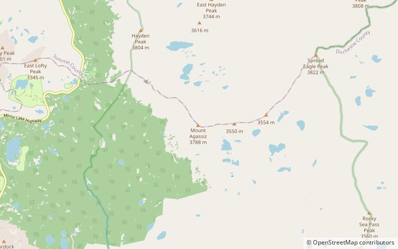
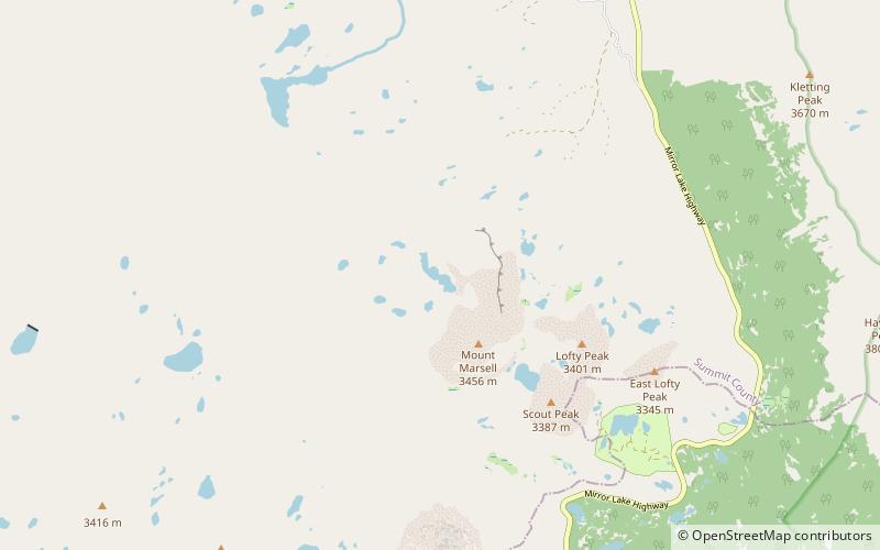
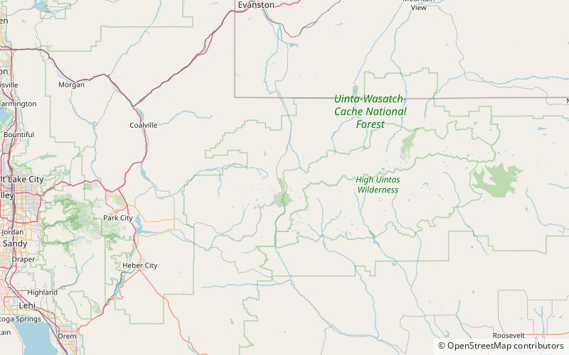
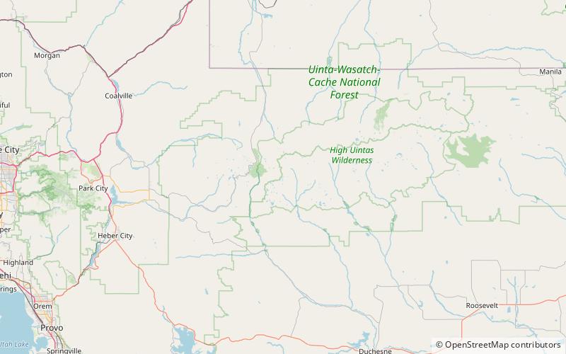
Mount Agassiz is a peak in the Uinta Mountains of northeastern Utah with an elevation of 12,433 feet. It is located in the High Uintas Wilderness and the Uinta-Wasatch-Cache National Forest. The summit is named in honor of Louis Agassiz, a well-known paleontologist, glaciologist and geologist. ()
Elevation: 12433 ftProminence: 1018 ftCoordinates: 40°42'40"N, 110°49'26"W
Address
High Uintas Wilderness
ContactAdd
Social media
Add
Day trips
Mount Agassiz – popular in the area (distance from the attraction)
Nearby attractions include: Mirror Lake, Bald Mountain, Cuberant Lake, Hayden Peak.


