Thunder Mountain, Eldorado National Forest
Map

Gallery

Facts and practical information
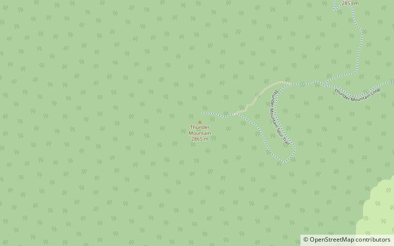
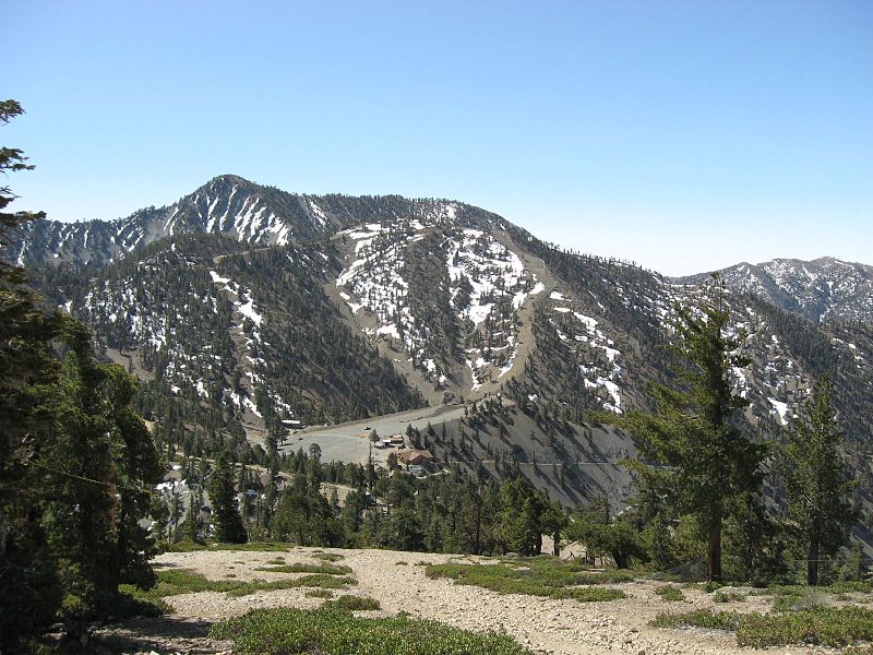
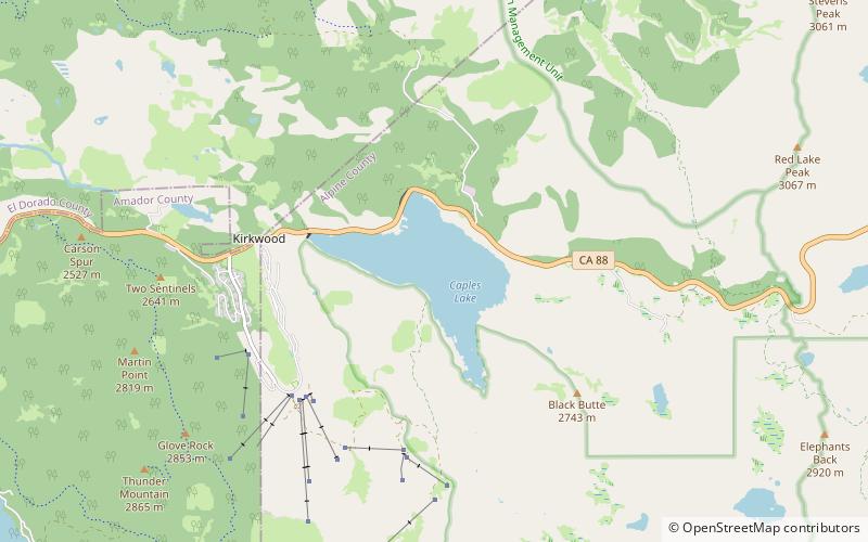
Thunder Mountain in the Sierra Nevada of California is located east of Silver Lake and west of Kirkwood Mountain Resort in the Eldorado National Forest. The mountain has two peaks, the 9,414-foot main peak and a 9,412-foot sub-peak west of the main peak. The main summit is the highest point in Amador County. Due to the high elevation, most precipitation that falls on Thunder Mountain consists of snow. ()
Elevation: 9414 ftProminence: 330 ftCoordinates: 38°40'27"N, 120°5'28"W
Address
59th Ave Between Deer Valley Rd and Pinnacle Peak RdEldorado National Forest
Contact
Social media
Add
Day trips
Thunder Mountain – popular in the area (distance from the attraction)
Nearby attractions include: Caples Lake, Carson Pass.


